
Trace Jackson Township Neighbors by Parcel
Jackson Township neighbors are best researched as adjacent public parcels, not as a presumed list of people. For Jackson Township property, the Franklin County Auditor Parcel Viewer establishes the geography around a known site. The related Auditor Property Search supplies the public owner, mailing/contact address, site address, parcel ID, and legal description for an individual parcel. The Franklin County Recorder Cloud Search then supplies recorded document history when the question concerns a past transfer. Each route answers a narrow question and carries its own date.
| Block source | What it establishes nearby | How to reach it |
|---|---|---|
| Auditor Parcel Viewer | Parcel lines, selected parcels, map layers, and spatial relation | Free map, Identify tool, buffer, and export |
| Auditor Property Search | Recorded owner and separate mailing, site, and legal-description fields | Free individual parcel record; Auditor counter or phone help |
| Recorder Cloud Search | Recorded parties, instruments, dates, and legal-description links | Free current search, historic path, and Recorder counter |
| Board of Elections tools | Polling and district geography for a supplied address | County or statewide official lookup within legal limits |
| Township records channel | A known zoning, Board of Zoning Appeals, road, fire, or meeting item | Specific request to the Township, not a people directory |
Keep the result labeled as an adjacent-parcel or recorded-owner review. An Auditor owner field can represent an individual, multiple owners, a trust, an entity, or a correspondence address. A site address identifies the real parcel. Neither field establishes a complete household or confirms who is present today. That focus keeps a Jackson Township adjacent-parcel review tied to disclosed county fields.
Map Jackson Township Parcels by Buffer
In Jackson Township, the County's documented GIS method starts with geography. The Parcel Viewer supports searches by shape, value, and spatial relationship. Its value choices include parcel ID, subdivision or condominium name, annexation, and special tax district. After locating the starting parcel, Identify can return one or more map features and link onward to the detailed Auditor record. A small, dated selection is more defensible than relying on address numbers that only appear to be adjacent.
- Find the known site in the Auditor address search or with its parcel ID, then retain the parcel ID and legal description.
- Open that parcel in the Parcel Viewer and use Identify to confirm the mapped feature.
- Use the documented spatial option to set a small distance buffer around the chosen parcel.
- Select parcels marked inside or intersecting, and record which control was used because the results can differ at an edge.
- Use the results tab or CSV export only as a parcel list, then open the associated Auditor records one at a time.
- For a prior ownership question, use the parcel's legal description and recorded party in Recorder Cloud Search.
Record the starting parcel, map date, selection method, selected parcel IDs, and the jurisdiction shown by the map. A buffer is a mapping convenience, not a legal notice area or a social boundary. For a full named-street record chain, use the Jackson Township street directory after the immediate parcel review is complete.
Note: Map layers can be scale-dependent, so retain a dated selection and verify each result against the current Auditor record.
Read Jackson Township Owner Fields
A Jackson Township Auditor page separates three facts that are often blended together: the recorded owner, Owner Mailing / Contact Address, and Site (Property) Address. It also supplies a legal description and parcel ID. The separation is useful for checking that a map result and a property record refer to the same land. It is not an occupancy statement. A correspondence address may differ from the parcel, and a recorded owner may not be the only person connected with that address.
| Auditor field | What the field means |
|---|---|
| Parcel ID | The stable county identifier used to connect map, Auditor, and recorded-document research. |
| Site address | The location of the parcel, useful for map placement and address searching. |
| Mailing/contact field | The address used for correspondence in the property record; it can differ from the site. |
| Legal description | The subdivision, lot, or other land description that bridges the parcel to recorded documents. |
This distinction is the key local misconception to avoid. A public owner or mailing value does not turn the Auditor roll into a list of Jackson Township neighbors. For Jackson Township property research, preserve the label exactly as displayed, add the date checked, and seek a separate dated record if a property-history question remains.
Date Nearby Jackson Township Parcel Ownership
For Jackson Township parcel research, Recorder Cloud Search is the next step when an adjacent parcel's question is historical rather than geographic. Its Advanced Search includes party names, grantor, grantee, recorded date range, document type, document number, book or volume and page, OCR, subdivision legal, and freeform legal options. Start with a current deed or the known recorded party, then compare the legal description and document date with the selected parcel. A document can show a recorded transfer or other filing, not a continuous account of who was at an address.
Older Franklin County deeds require a different route. The Recorder's historical guidance identifies deed indexing from 1804 through 1913 and directs researchers to handwritten grantor and grantee index material, with volume and page as the bridge. Some earlier records were lost in the 1879 fire, though the Recorder says most were reconstructed. For a historic Jackson Township parcel, an unsuccessful modern address search should prompt a legal-description or index-page check, not an assumption that the parcel had no history.
View Jackson Township Election Geography
For Jackson Township addresses, election tools can clarify which polling or district geography applies. The Franklin County Board of Elections ward-map collection includes a Jackson Township election map. The Board's voter-information route and the statewide lookup are appropriate for a supplied registration or polling question, subject to Ohio's public and confidential-record rules. They do not provide a streetwide or blockwide list of people.
Ohio's statewide search requires first name, last name, and county, then offers street name only after that initial narrowing. ORC 3503.13 and related provisions exclude protected identifiers and protected-address information. Public voting history describes participation activity, never ballot choices. Use election material to understand geography, then return to parcel and Recorder records for a property question.
The Board of Elections map collection shows the official geographic route for a Jackson Township neighbors search.
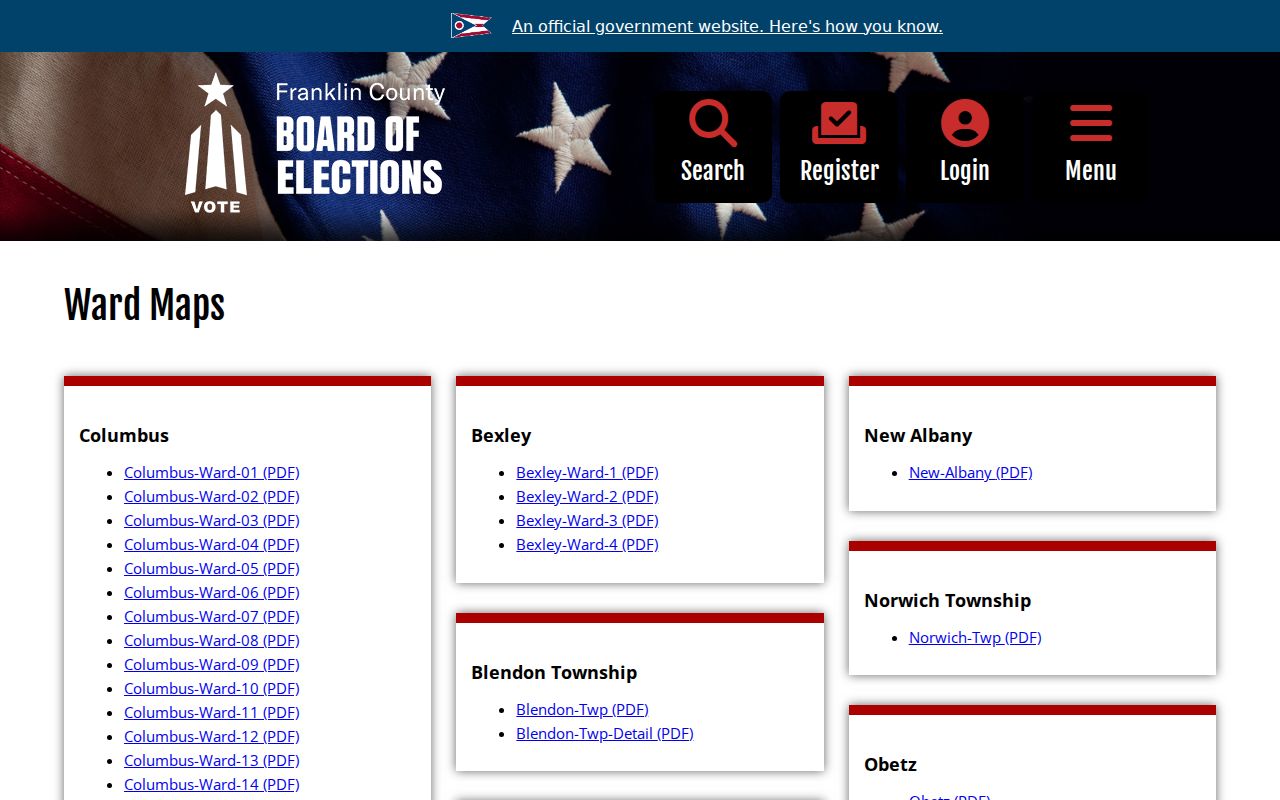
A Jackson Township polling or district boundary can identify the governing election area, but it does not identify everyone on the surrounding parcels.
Jackson Township Civic Contacts
Jackson Township's verified community layer is narrow. Grove City Police offers a civic route for residents who want to join or start a neighborhood watch. Its crime-prevention coordinator provides training, materials, signs, and alerts. The page does not publish a captain or member roster, and it should not be treated as a Jackson Township resident directory. No official public Jackson Township HOA membership list, association roster, or townshipwide neighborhood roster was found in the research.
Grove City Neighborhood Watch
Crime-prevention information explains how to join or start a watch and obtain training and materials. It is a civic contact route, not a roster.
Jackson Township Meetings
Board meeting archives can support a defined property, project, or action search. They are not a unified person or address index.
Southwest Franklin County History
Southwest Franklin County Historical Society serves the Grove City and Jackson Township area with regional history resources, not a current community roster.
Grove City's neighborhood-watch information documents the available training and participation path.
The public material supports civic participation without exposing names or contact details for watch participants.
Request a Known Jackson Township Property Record
Jackson Township records can add context only when there is a known property, action, or date. The Township maintains zoning forms, zoning and trustee or Board of Zoning Appeals materials, road and fire-prevention information, and fiscal or administrative records. For a defined permit, hearing, map, or meeting item, identify the address or parcel, approximate date, record type, and department. The Township Administrator is the documented route for public-record, agenda, and minutes questions. A request should seek an existing record rather than a newly created list of people.
The Jackson Township meeting archive is useful when the action or meeting period is already known.
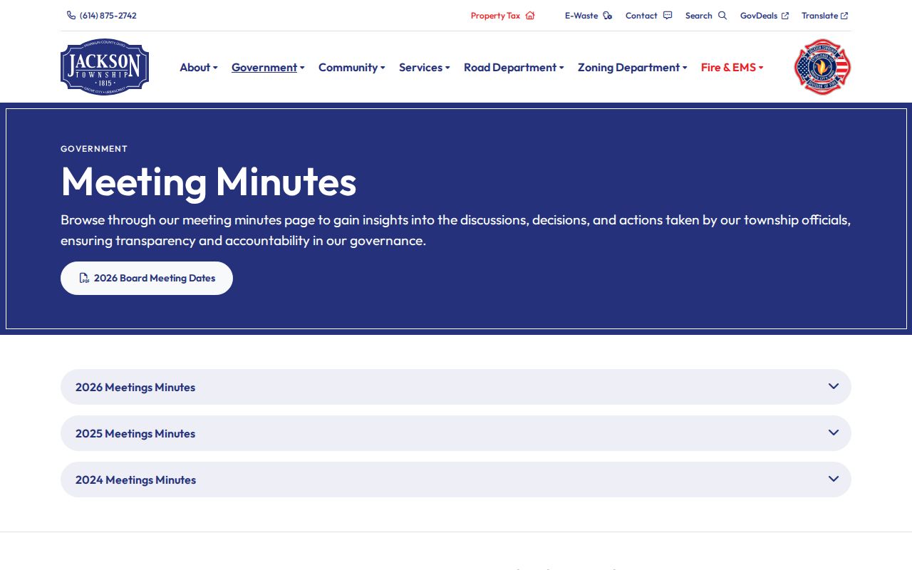
A Jackson Township meeting document can place a public project or address action in time, but it cannot establish an ongoing household list.
The Township zoning fee schedule is an official reference for naming the type of known zoning record to request.
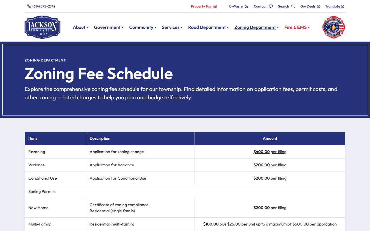
Use the displayed category to describe a Jackson Township address, project, or file precisely when requesting an existing record.
Place Jackson Township Records in Local Context
For an older Jackson Township parcel or street question, regional history can explain place names and jurisdiction changes without supplying a current directory. The Southwest Franklin County Historical Society serves Grove City, Urbancrest, Jackson, Pleasant, Prairie, and Franklin townships. Its Jackson Township history provides a local geography and settlement context. That material is most useful beside a dated deed, map, road record, or public meeting document, not as evidence about a present occupant.
The Society's Jackson Township history provides regional background for a dated parcel or road question.
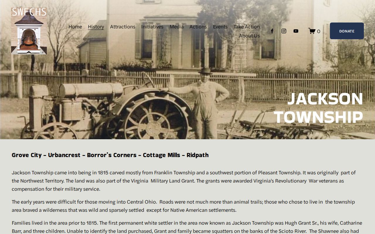
Historical context can help distinguish an old place reference from a modern parcel fact, but it cannot establish who lives nearby.
Compare Jackson Township Parcel Sources
Official records and commercial neighbor tools serve different purposes. A county record identifies the custodian, record date, field labels, and a correction or counter route. Commercial tools may combine old and current-looking data from many sources, but a combined display does not supply the parcel geometry, legal description, or document history needed to verify it. For a Jackson Township parcel question, start with the official parcel and recorded-document trail, then preserve uncertainty rather than filling gaps with a compiled profile.
| Check | Official county or Township record | Commercial neighbor tool |
|---|---|---|
| Parcel boundary | Mapped and selectable in the Parcel Viewer | May not show the county's current parcel geometry |
| Ownership evidence | Dated Auditor fields and Recorder documents with a custodian route | May combine sources without the underlying document trail |
| Election context | Official polling and district geography under Ohio rules | Cannot replace the Board of Elections' legal limits |
| Correction path | Ask the Auditor, Recorder, Board, or Township custodian about its record | Does not alter the underlying government record |
Protect Jackson Township Neighbor Privacy
Public availability has clear limits. Parcel and Recorder systems do not provide utility, delivery, motor-vehicle, or complete household information. Court material may be sealed or otherwise restricted. Protected election data and the Ohio Secretary of State's Safe at Home program can also limit what appears in ordinary searches. Safe at Home uses a substitute mailing address for qualifying participants under ORC 111.41 through 111.99. A missing or protected result is not a problem to work around.
Use the Ohio Safe at Home program or the responsible custodian for an address-protection or correction question. Ohio's Public Records Act, ORC 149.43, can support inspection or copies of an existing public record, but it does not require an office to create a block list or disclose confidential material. Date the source, verify important facts with its custodian, and keep Jackson Township property research focused on the stated parcel question.
Lawful use. Use Jackson Township neighbor records for personal, civic, genealogy, estate, property, or safety questions. Never use public information to stalk, harass, threaten, or expose another person.